

Loire
river in France
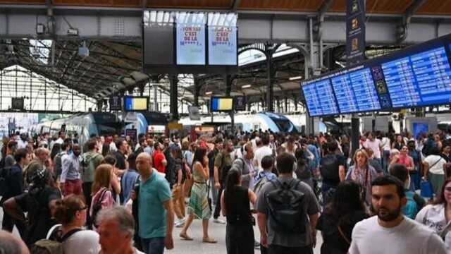
The interprofessional day of action on Thursday, November 5, 2026, will cause disruptions on several French rail networks.
This is a new step in the fight against healthcare deserts. This Monday, November 2, 2026, nearly…
White, green, or purple, asparagus boasts numerous, often overlooked, nutritional benefits. Rich in water, fiber…
Three days after Storm Austen swept across much of northwestern France,…
-
The affair is causing a stir at the Jacques-Cœur hospital in Bourges, in the Cher department. Rémi Fauquembergue, the hospital's director since 2024,…
A symbolic gesture to denounce the policies of the President of the Republic. This Wednesday, October 21, Frédéric Mortier…
On October 22, 1941, Guy Môquet, only 17 years old, was shot by German soldiers in…
The anger of local elected officials continues to be expressed after the violence that marred Saturday's demonstrations…
-
The day of mobilization this Saturday, October 17th, against the high cost of living was marked by…
A 22-year-old auxiliary police officer lost his life on the night of Friday the 16th to Saturday…
The history of France is full of sovereigns who died on the battlefields, succumbed to disease, or were victims of…
A new candidate has entered the race for the Élysée Palace. Gilles Platret, the center-right mayor of Chalon-sur-Saône, has…
-
The scene contrasts sharply with the images of tension that have accompanied the high school student protests for several days. This Tuesday,…
The two senators from Place Publique, Bernard Jomier and Grégory Blanc, have decided to join forces with the Green group…
An attack by Asian hornets disrupted a foot race in Saint-Maurice-en-Gourgois, Loire, on Sunday, leaving eleven…
As the holiday season approaches, Amazon and La Poste are increasing their staff to handle the surge in demand…
-
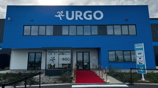
Urgo is changing scale. The French family-owned group specializing in medical devices and healthcare products is taking the next step…
Christelle Morançais openly calls on Bruno Retailleau to join forces with Édouard Philippe for the presidential election. A guest on Sud Radio…
Gisèle Pelicot lends her face to a vast national awareness campaign on chemical sexual assault launched this…
-
An investigation into an international cocaine trafficking ring has led to the indictment of ten men…



















About Us
The Loire, at 1,006 kilometers long, is the longest river flowing entirely within France. It rises on the southern slope of Mont Gerbier-de-Jonc in the southeastern Massif Central, in the Ardèche department, and flows into the Atlantic Ocean through an estuary in Loire-Atlantique, in the Pays de la Loire region. Its course initially flows from south to north as far as the vicinity of Briare in the Loiret department, then turns west.
The torrential, narrow-sided Loire initially flows north; from Vorey (Haute-Loire) it tends northeast, then north again from the Grangent reservoir. It generally takes a north-northwest direction from Feurs (Loire), then a distinctly northwesterly one from Digoin (Saône-et-Loire). Between Châteauneuf (Loiret) and Orléans, the boatmen said it was already flowing towards the setting sun, forcing them to navigate against the prevailing wind. From its northernmost point at Orléans, it flows southwest to Candes (Indre-et-Loire) before plunging northwest to Les Ponts-de-Cé (Maine-et-Loire); then west again to the vicinity of Ancenis-Saint-Géréon (Loire-Atlantique), where it resumes its southwesterly course. Between Nantes and Saint-Herblain, it resumes its westward course, gradually descending towards the northwest as far as Saint-Nazaire. It only resumes a final southwest direction at the opening of its maritime estuary.
Its catchment area of 117,000 km2 covers more than one-fifth of French territory.
Its course can be described in several successive hydrological basins:
the sub-basin of the upper Loire, up to the bec d'Allier at Cuffy (Cher);
the sub-basin of the middle Loire, from the bec d'Allier to the bec de Vienne at Candes-Saint-Martin (Indre-et-Loire);
the sub-basin of the lower Loire or the lower Loire, from the Vienne confluence to the estuary.
Furthermore, several "regions" can be identified along the river's course. Among these are:
the "Burgundian Loire", from Villerest (Loire) to the bec d'Allier;
the Loire Valley, from Gien (Loiret) to Ingrandes (Maine-et-Loire), classified as a world heritage site from Sully-sur-Loire to Chalonnes (Maine-et-Loire);
the "lower Loire angevine and armoricaine" flowing approximately from Montsoreau (Maine-et-Loire) to Nantes, and crossing the Armorican Massif, which extends from Brittany to the Deux-Sèvres department;
the Loire estuary, where the waters of the Loire and the Atlantic Ocean mix.
Until the mid-19th century, the Loire, navigable from the area around Roanne, was the main waterway for transporting goods from the interior of the country to the port of Nantes. The arrival of the railway, which now connects Paris to Saint-Nazaire via Angers and Le Mans, changed everything. The tidal influence often extends upstream from Nantes, well beyond the wide estuary of Saint-Nazaire. Today, the Loire is navigable from its estuary to Montsoreau (near Saumur).
Site sections
Organisations


