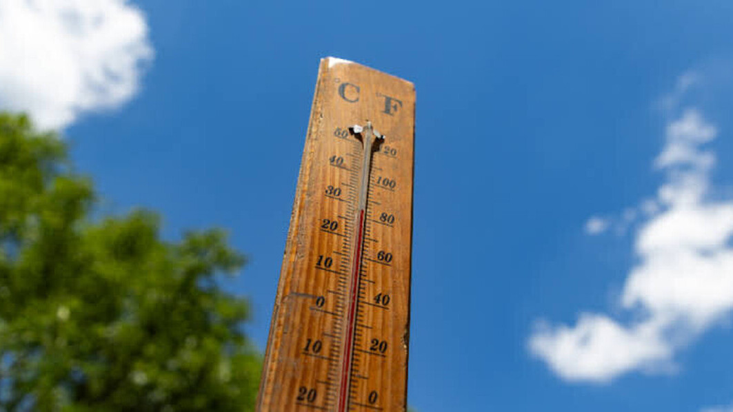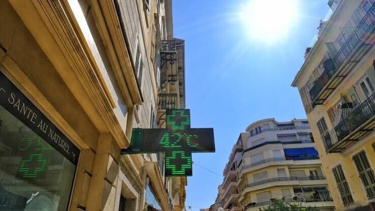
After a few cooler days, temperatures will start rising again in France from Saturday. Météo-France forecasts the establishment of anticyclonic conditions, with mostly dry and sunny weather. Temperatures could reach 30°C in the Southwest and around the Mediterranean , while the thermometer will generally range between 24 and 29°C in the rest of the country.
The heatwave is expected to continue rising on Sunday before peaking on Monday and Tuesday. Temperatures near 30°C could then affect a large part of the northern half of the country, while the mercury could climb as high as 35°C in the Languedoc region. Temperatures are expected to begin falling from Wednesday onwards, a scenario still considered possible by the forecaster. No orange alerts are currently in effect, and rain will remain scarce until midweek.
A new episode after an exceptional start to September
This increase in temperatures comes after a particularly intense heatwave earlier this month. France then recorded 40,3°C in Lavaur, in the Tarn department , setting a new national record for September. The temperatures observed since the beginning of the month thus extend a 2026 already marked by several heatwaves.
The meteorological summer, which runs from June to August, was notably marked by three heat waves, including one at the end of June of record intensity. The new heat wave expected early next week should, however, be less extreme, although temperatures could still reach 35°C locally in the south of the country.